

Hyper-local networks
Local data, made useful.
Civic, mapping, transport and energy platforms for the Open Data Institute, OmniMaps, Hop, Hometree and Prindex. For Prindex, we took over and completed delivery.
Why this stack
Built for street-level accuracy.
- API-first and modularRegional versions without duplicated code.
- Open and proprietary dataMany sources combined and checked.
- Location precisionStreet, town and postcode detail.
Clients
Prindex, ODI, OmniMaps, Hop, HometreeSector
Hyper-local networksDelivered on
iOS, Android, Web, APIAverage time to launch
4 to 5 monthsThe brief.
National tools lacked the detail needed for neighbourhood decisions, and data came from many sources. Each platform had to stay accurate at street, town and postcode level.
Our involvement
- DiscoveryGoals, users and constraints mapped.
- DesignJourneys and interfaces designed and tested.
- BuildApps and platform built, reviewed and tested.
- LaunchReleased for real-world use.
- TakeoverFor Prindex, an existing product picked up and moved forward.
What we built.
Mapping
Street, town and postcode views.
Open data APIs
Open and proprietary data combined.
Transport and energy
Local journeys and household decisions.
Prindex takeover
Delivery picked up and completed.
The result
Councils, organisations and residents make decisions with accurate local data.
Neighbourhood-level precision
Open and proprietary data combined
Customised by region without duplication
More work.


WellnessReset
Wellness apps for body, mind and pets.
Read case study ›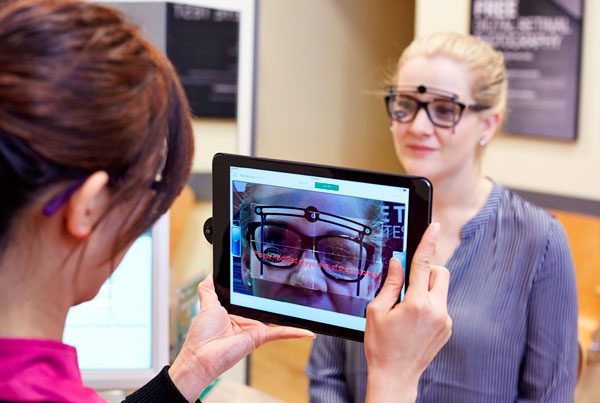

AR in healthcareSpecsavers
Augmented reality in real care settings.
Read case study ›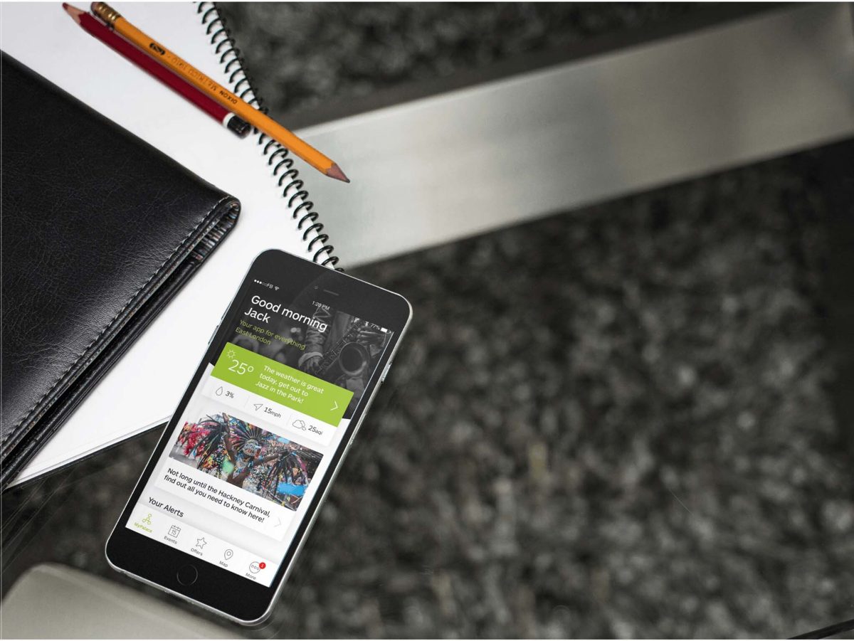

Civic apps & dataGov & Council
Data platforms behind public services and finance.
Read case study ›

Interactive packagingLyft & MAC
Packaging that talks back.
Read case study ›

SafeguardingBCoT
Safeguarding software colleges and health providers trust.
Read case study ›

Relationship techThursday
Dating apps built on trust.
Read case study ›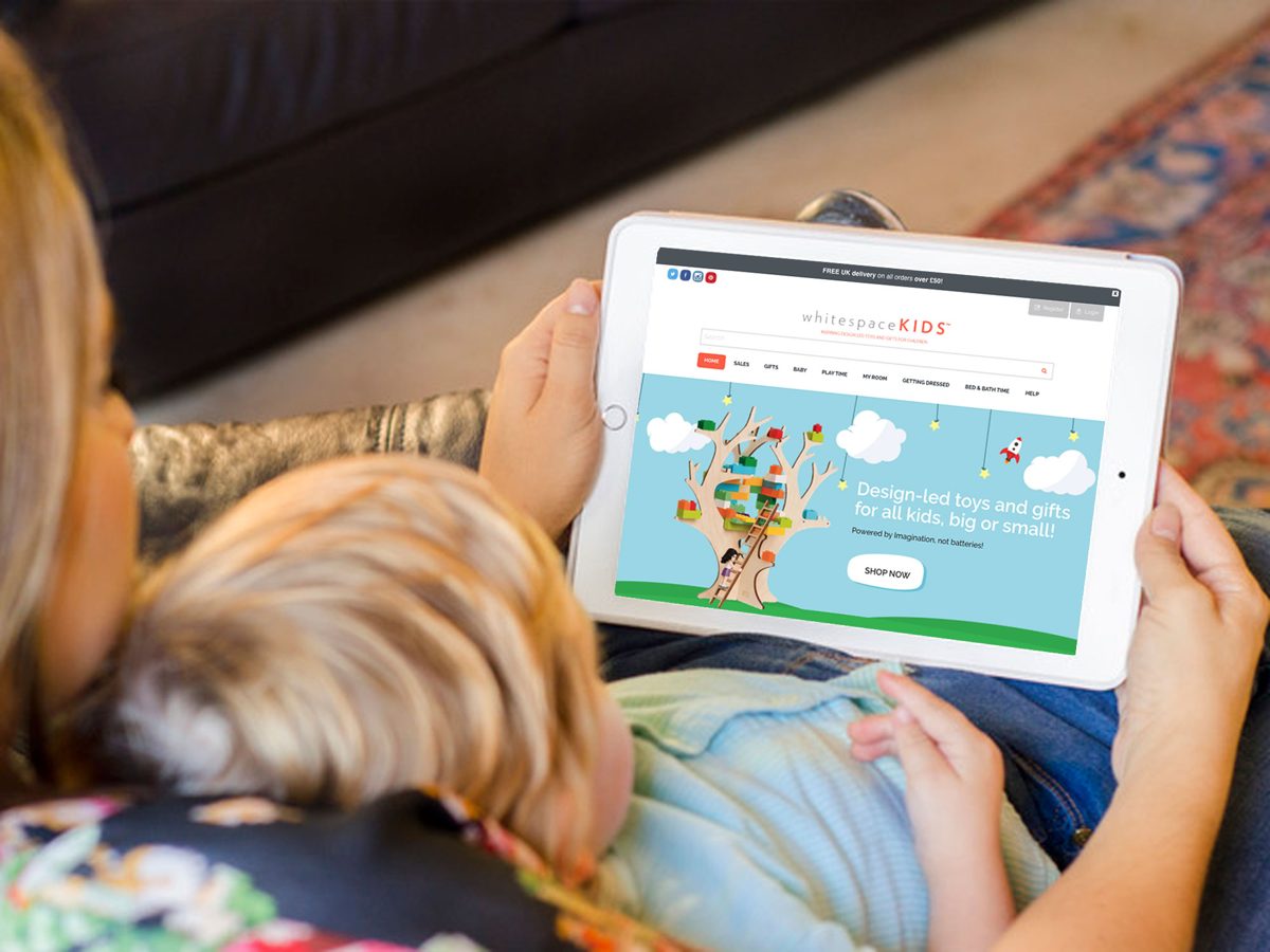

EdutainmentEkko
Learning apps people come back to.
Read case study ›

Food techNapkin
Hands-free cooking, guided by voice.
Read case study ›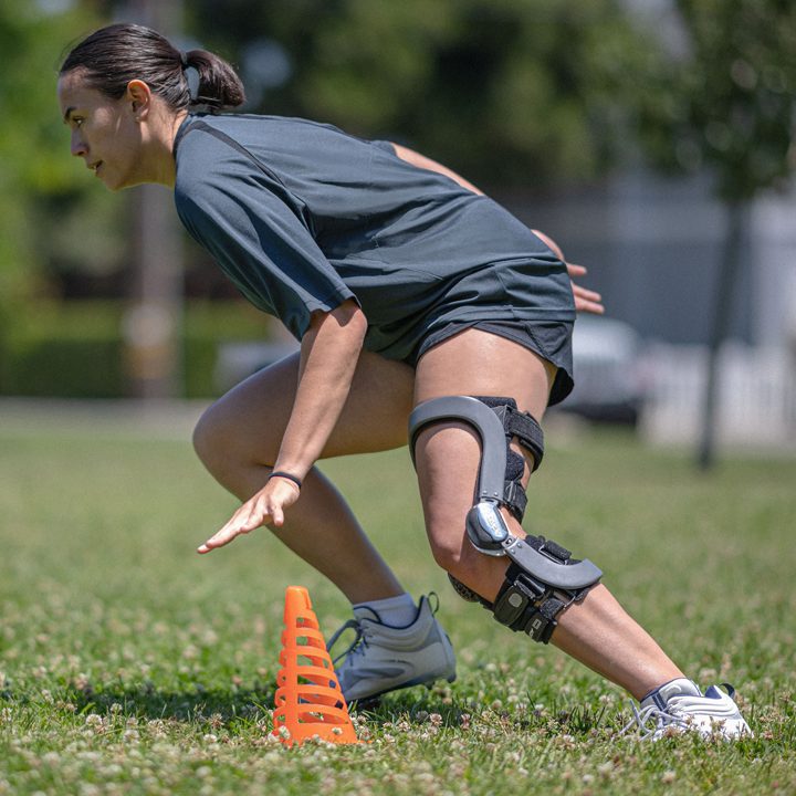

Sport scienceEnovis
A clinical ordering app clinicians rely on every day.
Read case study ›

Talent marketplaceBT
Talent and skills platforms, used at scale.
Read case study ›

Digital identityGillette
A Movember campaign at public scale.
Read case study ›Start a project
Have a project like this? Let's talk.
We reply within one working day with an honest view of the right approach, including whether we're the right team for it.